


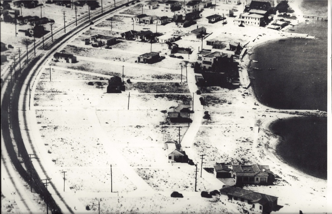
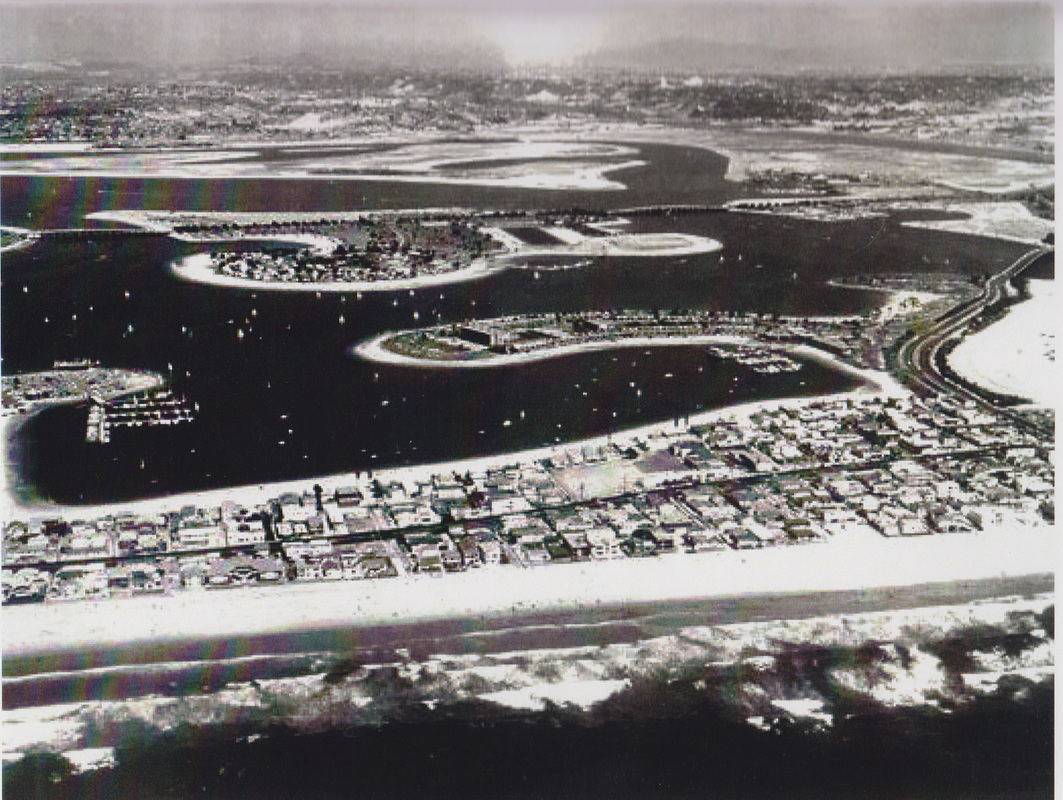
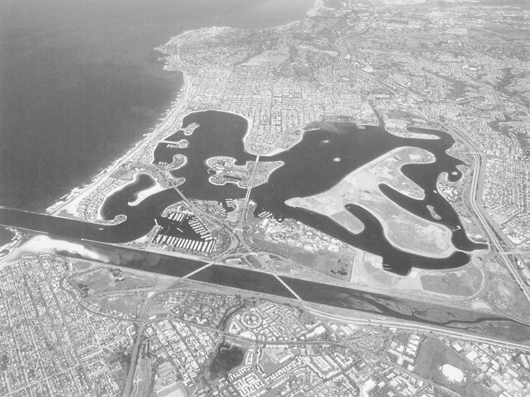
Mission Beach is a community built on a sandbar between the Pacific Ocean and Mission Bay.
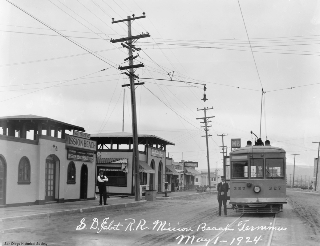
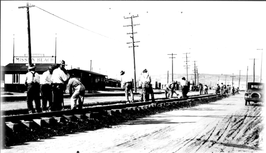
It is part of the city of San Diego, California. In June, 1914, the official subdivision map was surveyed and on December 14, 1914, it was adopted by the Common Council of San Diego, becoming the first official map of Mission Beach.
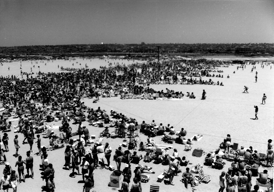
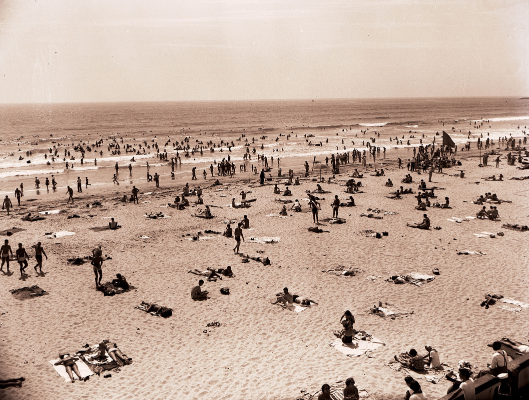
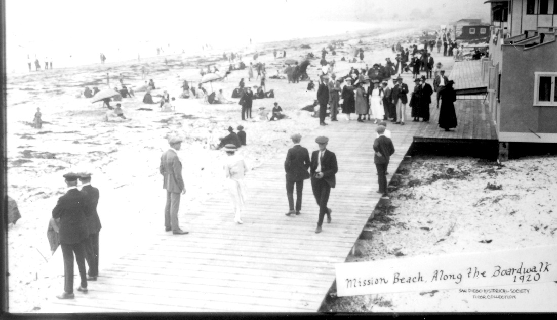
Mission Beach spans nearly two miles of ocean front. It is bounded by the San Diego River estuary on the south, Mission Bay Park on the east, and the community of Pacific Beach on the north. A ‘boardwalk’ runs along the beaches on both the ocean and bay sides of the community. The main artery through Mission Beach is Mission Boulevard. The community is divided into South Mission, a peninsula, and North Mission.
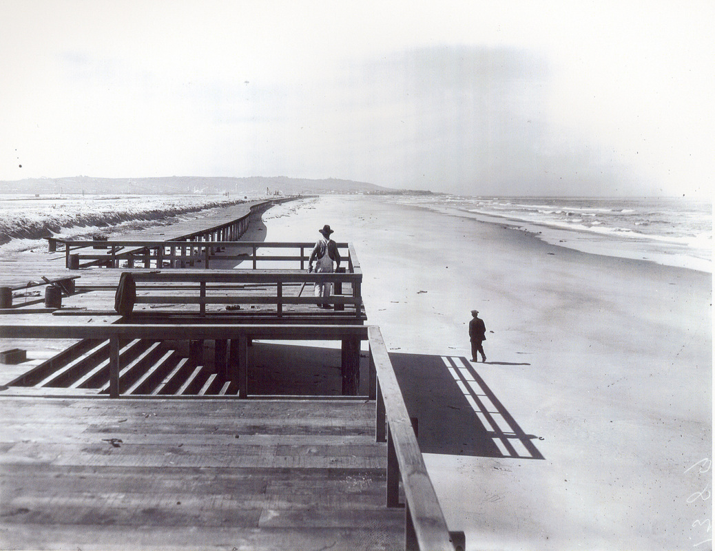
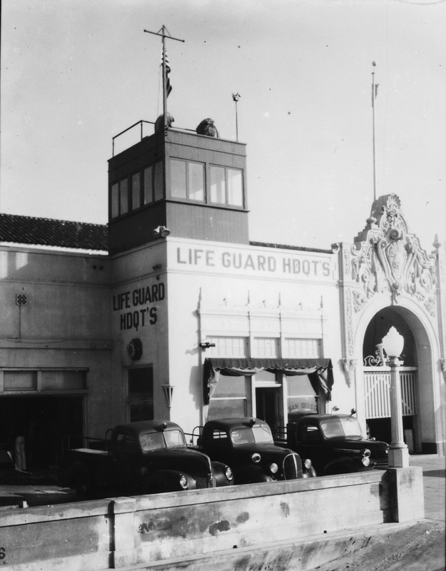
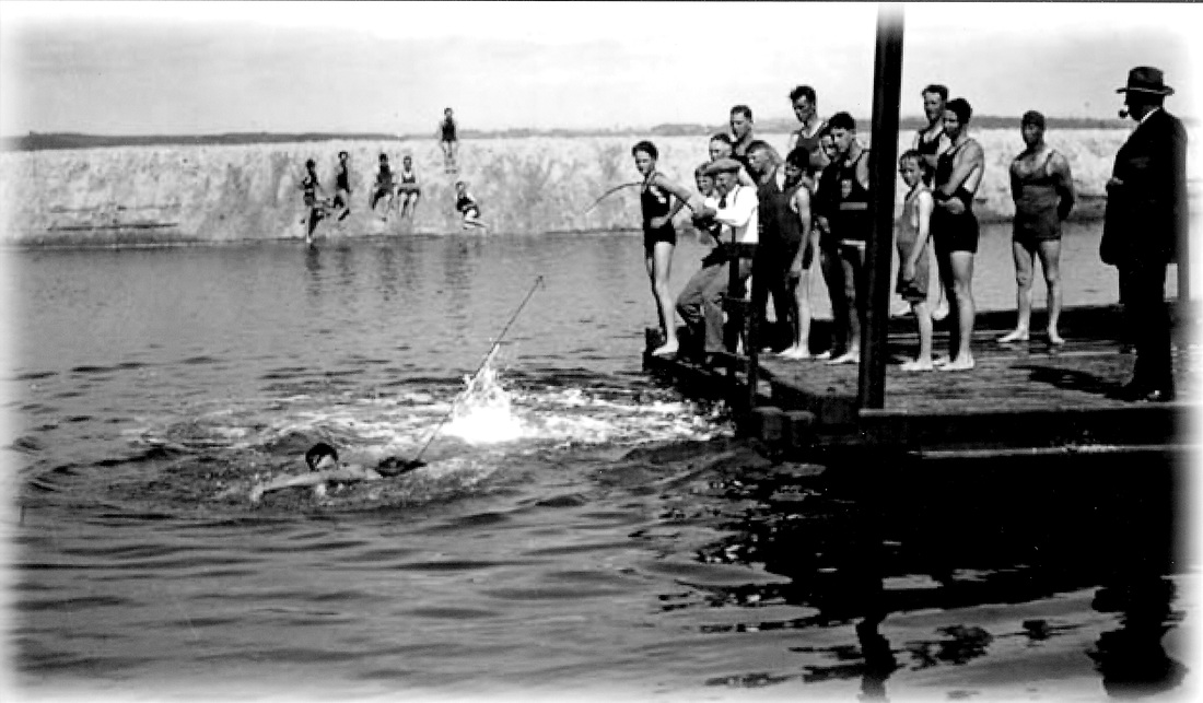
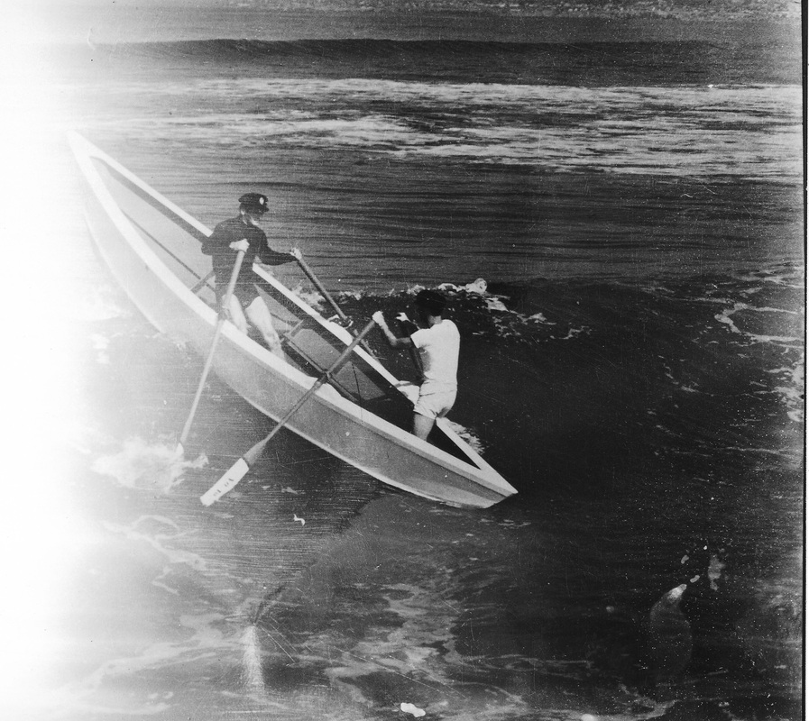
At the south end of the beach a jetty, with grass, parking and a walk, extends into the ocean.

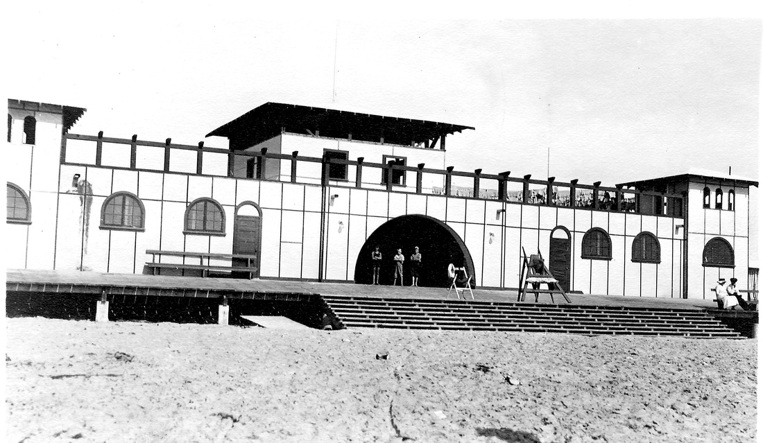
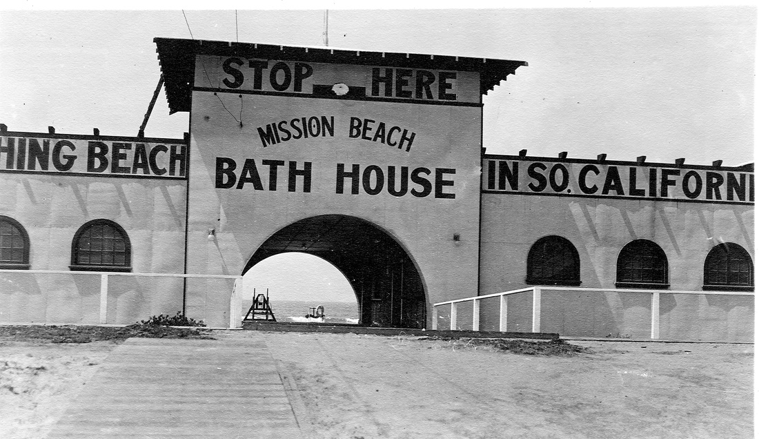
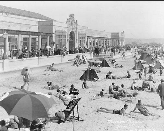
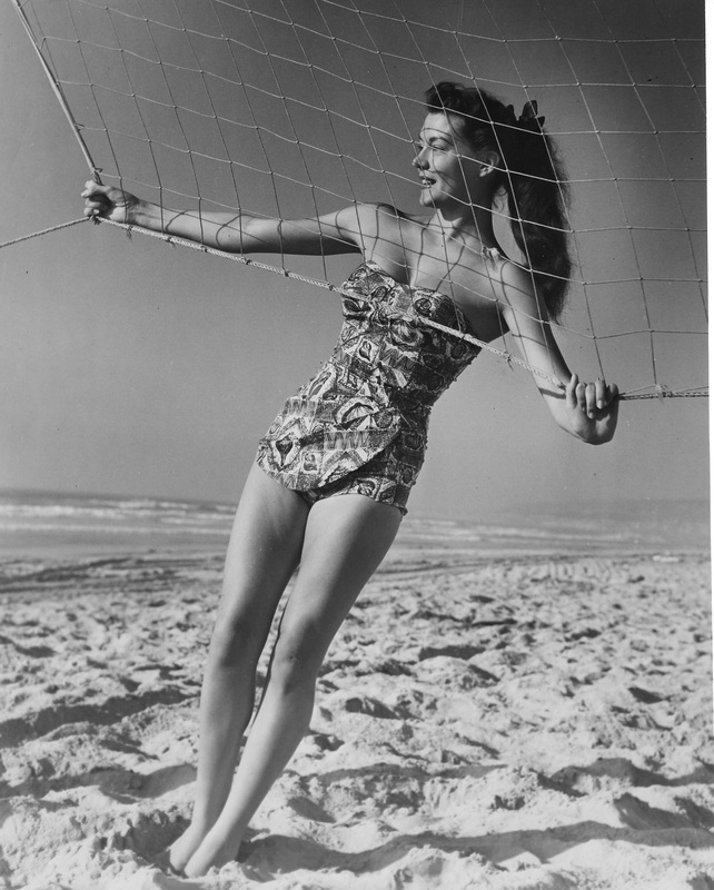
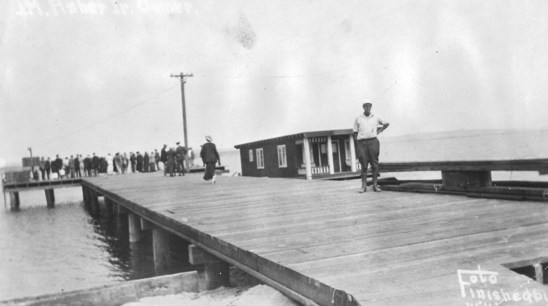
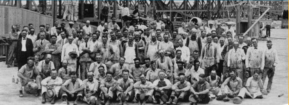
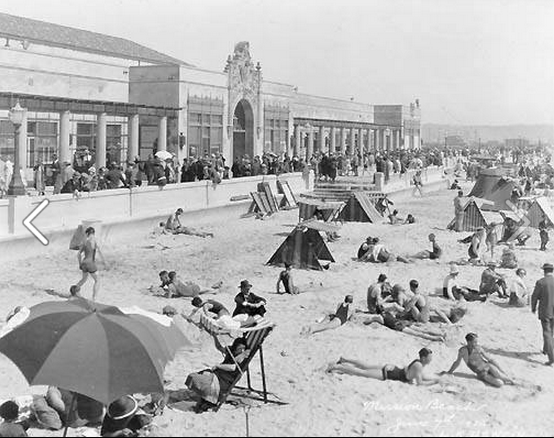
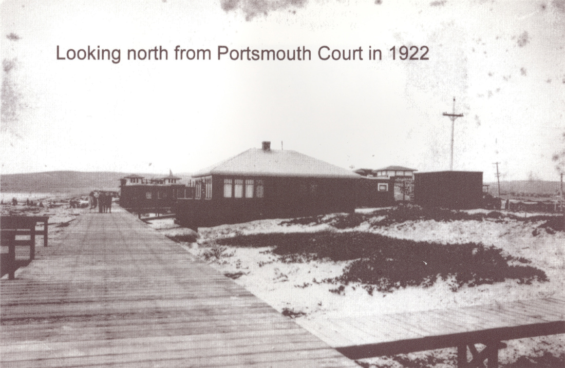
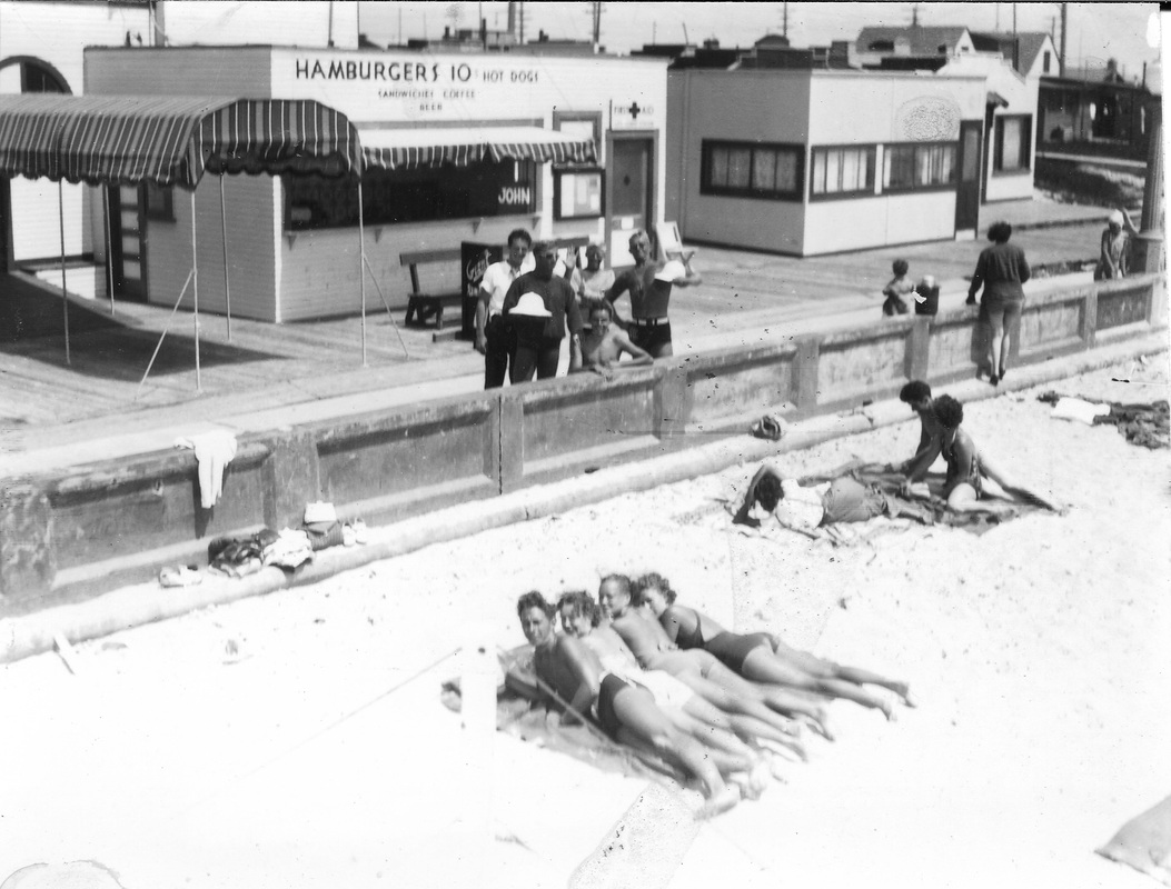
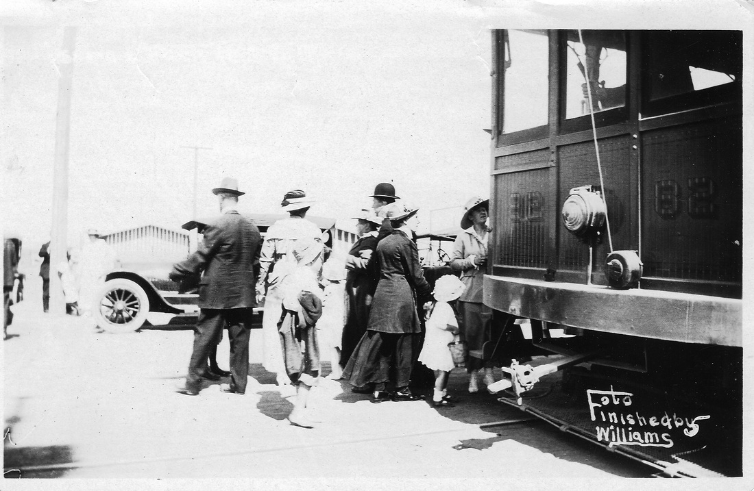
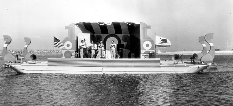
The Father of Mission Beach, as he is known, was J.M. Asher, the developer who in 1916 spearheaded Mission Beach’s Tent City. Pictures from the era show neat rows of striped, circus like tents interspersed with grassy, Hawaiian-style cabana huts. Mission Boulevard divided those at the water’s edge from those set back from the water. The lots were for sale, and tent sites were available for rent, and while not the most luxurious accommodations, the tents allowed families and individuals to live right on the beach. Asher, in response to the influx in population and in order to cash in on the beachfront market even further, built a bathhouse on Redondo Court to accommodate the crowd. Eventually, more people began to stay year-round, having taken to the weather and beach lifestyle, making Tent City not only a viable resort but also a place to live. Tent City was dismantled in 1922 in response to stricter city codes regarding temporary housing and was soon replaced by permanent residences.
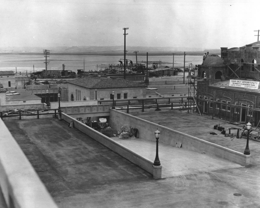
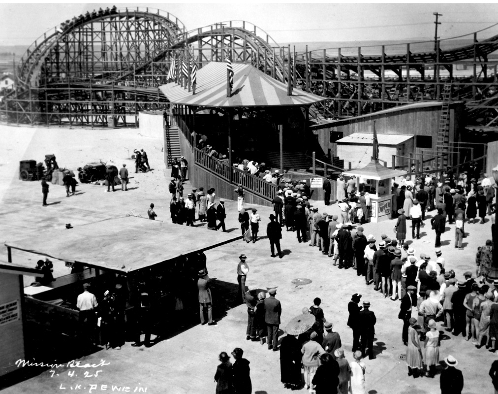
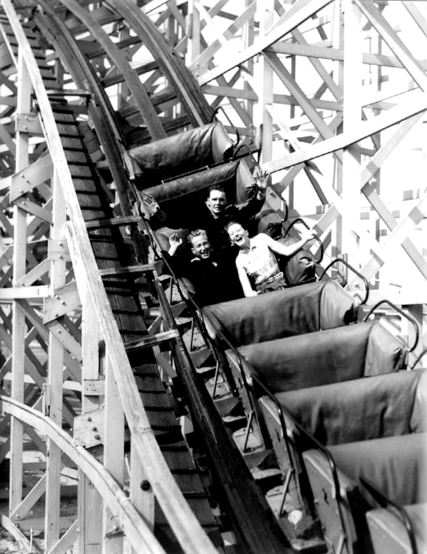
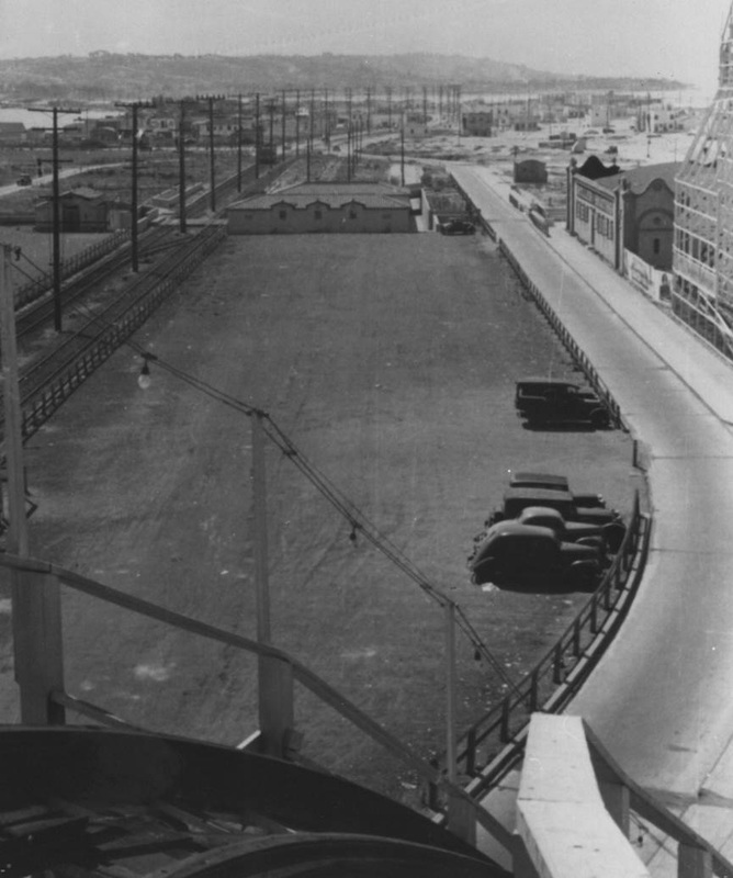
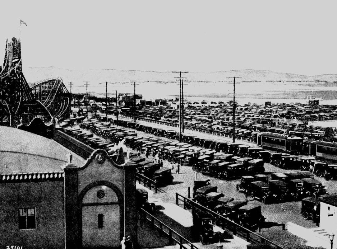
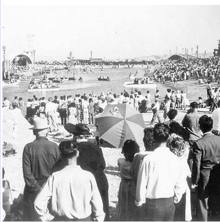
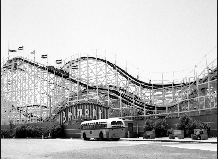
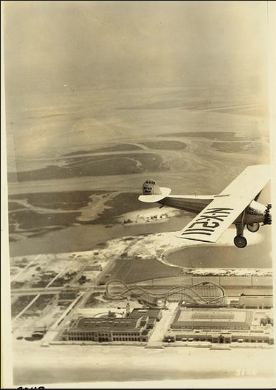
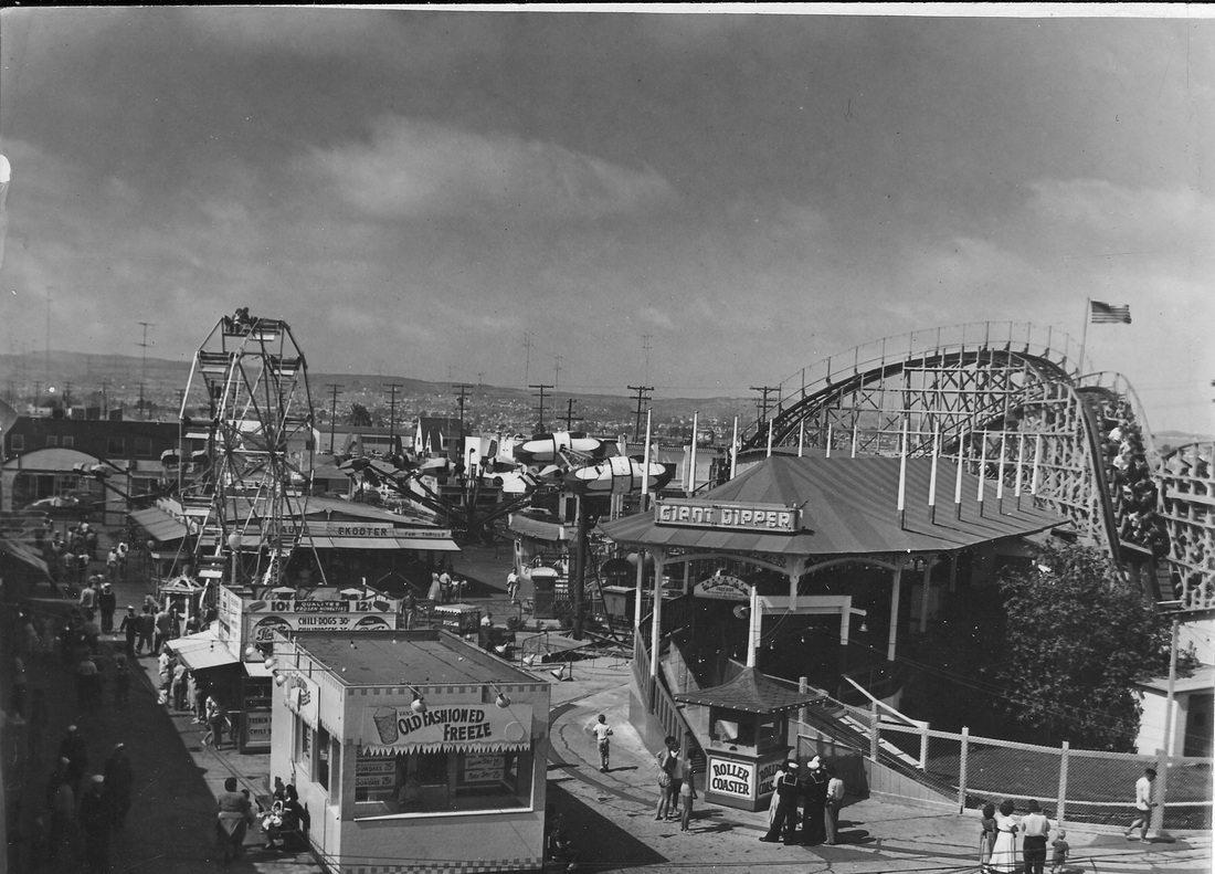
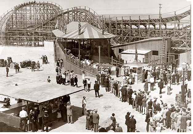
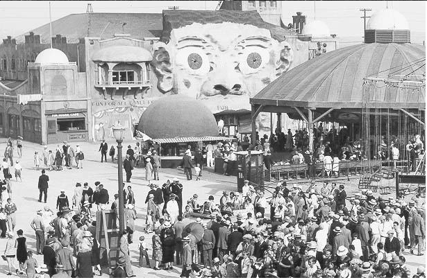
Spreckels had better luck than Asher did; some of what he built remains. In 1925, he constructed what was then called the Mission Beach Amusement Center, hoping to increase real estate interest in Mission Beach. The result was a games carnival, a ballroom, the Plunge swimming pool, and the Giant Dipper roller coaster, which is the second-oldest coaster ride in California. But Spreckels’s structures were in for a bumpy ride; the amusement center, renamed Belmont Park in 1957, stalled out in the ’60s and ’70s, closing in December 1976. Threatened with demolition, the coaster had been added to the National Registry of Historic Places in 1978, affording it some legal protection. Eight years later it was designated a National Historic Landmark. In 1986, new Belmont Park developers, Paul Thoryk and Graham MacHutchin, came into the picture; their interest in the park was sold to Phase One Development, which opened the commercial center in 1988. All that remained of Spreckels’s amusement park was the coaster and the Plunge. Thanks to the efforts of the Save the Coaster Committee, the Giant Dipper was up and running two years later.
CHRONOLOGY OF MISSION BEACH AND MISSION BAY from 1602-1994
- 1602 – Bay first described by Spanish explorers, who name it “Puerto Falso” (False Bay).
- 1769 – San Diego settled by Spaniards; San Diego River reported flowing into False Bay.
- 1828 – River begins shifting course to empty into San Diego Bay.
- 1852 – Congress appropriates $30,000 for Army Lt. George Derby to construct 1,190-yard dike to divert river into False Bay.
- 1855 – Flood destroys Derby Dike; 1876, dike rebuilt with $75,000 Congressional appropriation.
- 1888 – Rose Hartwick Thorpe writes poem referring to False Bay as Mission Bay. Name officially changed in 1915 by action of U.S. Geographic Board.
- 1902 – George P. Hall urges San Diego Chamber of Commerce to promote development of False Bay as an aquatic park.
- 1914 – First development plans proposed by syndicate, including local tycoon John D. Spreckels, who gains approval in 1920 to dredge Bonita Cove. Mission Bay Amusement Center opens. It includes Luna Park (later, Belmont Park) and its Giant Dipper roller coaster. Spreckels dies in 1926 and city gains control of Belmont Park in 1939.
- 1924 – Natural History Museum board asks City Council to set Mission Bay aside as a bird sanctuary.
- 1928 – Mission Bay State Park Association citizens group formed.
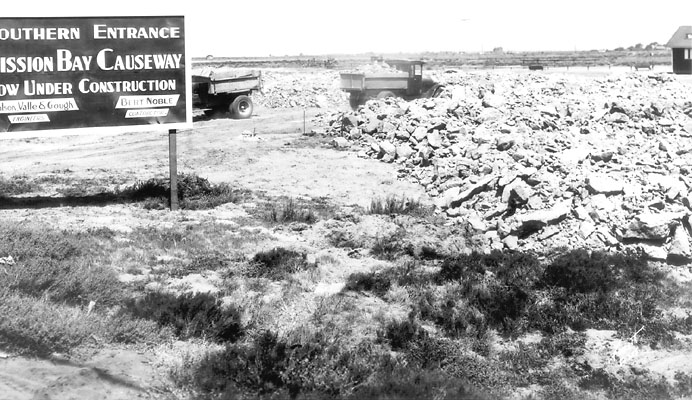
- 1929 – State creates park and Ingraham Street causeway opens.
- 1930 – First master plan prepared by city Planning Department; second plan adopted in 1939.
- 1933 – California Fish & Game Department recommends leaving Mission Bay in its natural state as a wildlife refuge.
- 1935 – Peik’s Airport opened at southeast corner of bay; moved to Montgomery Field in 1957.
- 1945 – State transfers title to city; voters approve $2 million bond issue by 80 percent.
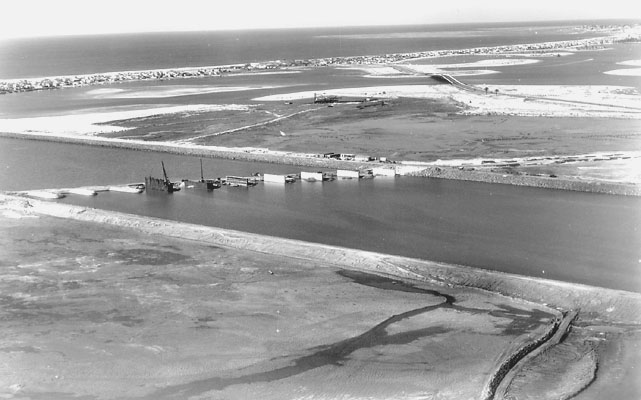
- 1947 – Congress approves $2.3 million for first dredging project; 25 million cubic yards dredged by 1961 completion.
- 1948 – Guest-housing plan proposes hotels and trailer parks but no permanent residences.
- 1949 – “Fiesta Bahia” held to open Mission Bay as a park.
- 1950 – New channel to ocean opens; voters approve $2 million bond issue by 70 percent; De Anza trailer-park lease proposed with 50-year lease approved in 1953.
- 1952 – Lena Kendall and Albert Frost donate acreage for wildlife preserve at north end of bay.
- 1954 – Five-member Mission Bay Park Commission created; terminated in 1963.
- 1956 – Voters approve $5 million bond issue by 70 percent.
- 1958 – New master plan approved, setting in place present configuration of park.
- 1961 – Sea World lease signed; opens in 1964.
- 1962 – Park officially dedicated; voters reject $12.6 million park bond issue, 2.6 percentage points short of two-thirds requirement.
- 1966 – Voters approve $23.9 million bond issue by 66.9 percent with $7.4 million for the bay.
- 1970 – Estimated $64 million in public and private improvements spent to date.1972 – City approves 30-foot coastal height limit and state voters approve California Coastal Commission, imposing strict limits on development in bay; permanent state law approved in 1976.
- 1978 – Fourth master plan approved.
- 1982 – State law passed permitting De Anza trailer park to continue year-round housing until 2003.
- 1986 – Sewage spills close portions of bay 181 days; $72.4 million in repairs planned through 1992.
- 1988 – Voters approve limit on commercial leases in Mission Bay.
- 1990 – Natural Resource Management Plan adopted; Giant Dipper roller coaster reopens after 14-year hiatus.
- 1994 – Aug. 2, the Misson Bay Master Plan Update is scheduled for consideration by the San Diego City Council.
Historic Pictures and Photos of Mission Beach and Mission Bay


As a kid Belmont park was my play ground I used to take the bus from Linda Vista on many a summer day then spend the whole day just hanging around Belmont park. the very first Amusement
park I took my daughter to was there.
As a young guy I used to go to the Mission Beach Jetty, and at certain times at night with lite fog you could see the “Jetty Dancer”.
Does any one else know or remember this. If so contact Ken Kramer at KPBS for his “about San Diego, show.
I recently found some old letters with the letterhead” Mission Beach Hardware Store” 3793 Mission Blvd Mission Beach Calf. I believe this store was owned by a C. Pappert back in 1942. Can you get me any info on this? Thanks Richard Pappert
I’m an Image Researcher and working on a book about folk music and venues. Looking to find a photograph of the 70’s era Heritage Coffeehouse that was in Mission Beach at 3842 Mission Blvd. That’s on the Ocean side in just about the narrowest part of N. Mission. Let me know whose is the best group/person to license their picture. I’ve also check with San Diego History Center and they didn’t have anything. Thank you for any replies
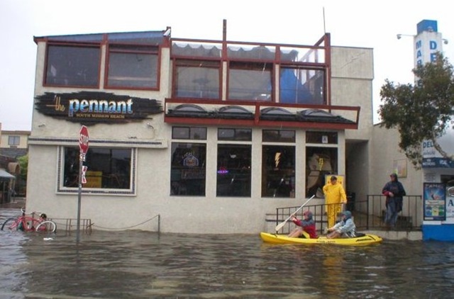
Is the Pennant bar still in operation in Mission Beach?
Yes!